


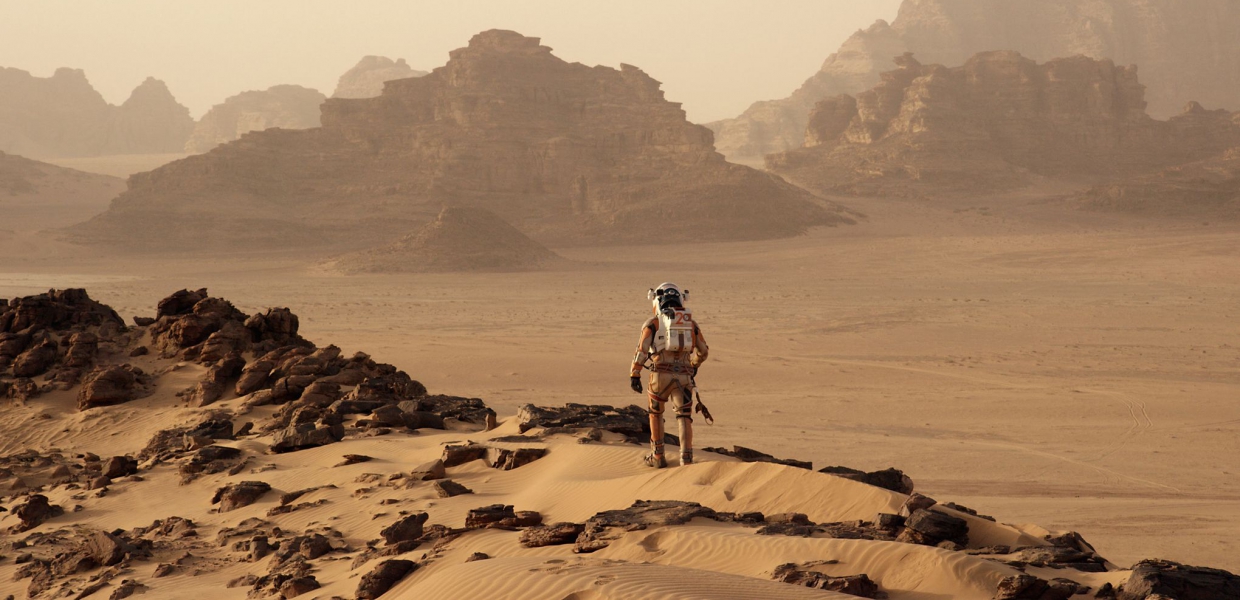
Mapping Mars
Thursday 23 February, 7:00 pm - 8:30 pm
Suitability: 16+
Free. Booking recommended.
Geographical Information Systems (GIS) have been used successfully on Earth for decades to map, analyse and visualise spatial data collected from Aircraft and Satellite Systems and Sensors. But did you know a GIS can be used with data from other planets? Through our workshop we will map and visualise the amazing surface features imaged by the HiRISE camera on NASA’s Mars Reconnaissance Orbiter. Discover vast plains, deep canyons, high mountain ranges, extensive dune fields, wide craters and Martian Glaciers! The workshop will finish with a visit to Mars and the Curiosity Rover using our GIS Lab Virtual Reality Headset!
Venue
Partners